Durrington Flat Grave
AM: Flat grave with primary inhumation in cist covered by a sarcen with a flint dagger, whetstone, cone and belt ring of shale and two flint discs. Note: Location is not certain. PS: An inhumation in a grave covered by a sarsen boulder was found "above Durrington Walls" prior to 1812 (in which year Colt Hoare wrote that it had been discovered "lately" by a shepherd). The skeleton was accompanied by a flint dagger, a polished stone plaque or whetstone, a shale pulley ring, and a v-perforated shale button. These items, along with two discs of chalk, are in Devizes Museum. It has been suggested that the burial had originally been covered by a barrow, since ploughed out, although there is no trace of one either on the ground or from the air.
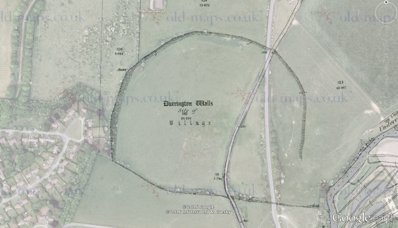
RCH: Durrington Walls (page 172)
RCH: In the rudest times other modes of burial, besides the barrow, were adopted. We have an interesting proof in an interment which was lately discovered above Durrington Walls, by a shepherd, who in pitching the fold, found his iron bar impeded in the ground : curiosity led him to explore the cause, which proved to be a large sarsen stone, covering the interment of a skeleton, with whose remains the articles engraved in TUMULI Plate XIX, were deposited, viz. a spear head chipped from a flint, a small hone or whetstone, a cone and ring of jet like a pully, and two little buttons of marl or chalk, all bespeaking an interment of the earliest date.
Historic England Monument Number: 219636
NMR Number: SU 14 SW 72
Wiltshire and Swindon Historic Environment Record: MWI12619 - SU14SW560
Wiltshire Museum Accessions:


Additional Notes: Unscheduled. Location is not certain, but an OS county map of 1879 shows a "Stone" positioned along the line of the bank near the supposed NW entrance to Durrington Walls Henge. Since this pre-dates military acquisition of the land, this cannot indicate a War Department marker stone, nor does it lie on a parish or field boundary. See also: Stonehenge Hidden Landscapes Project geophysics results 2014-16.
No comments:
Post a Comment
Comments welcome on fresh posts - you just need a Google account to do so.