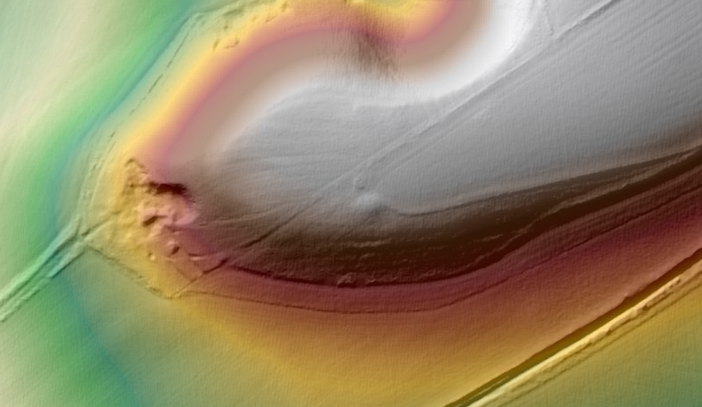
On the edge of the downland promontory above All Cannings Cross I think there is a round barrow. It wouldn't be unusual to find a barrow in such a position overlooking the vale. The Historic environment record only has an undated ring ditch in the same approximate position. https://services.wiltshire.gov.uk/HistoryEnvRecord/Home/ViewHERItem?HER=MWI8613
Is the ring what I think is the ditch around the barrow or is it the feature to the south of the mound on the Lidar - I couldn't find it on the ground.
There is a chance that the mound is from the digging of a dewpond to the north west of it. There isn't a pond there now but maybe just a hint there was an unmapped one? On balance I don't think so but I like to consider other possibilities.


Your job now is to just walk across the street with the camera and a shovel ...
ReplyDelete