Sunday 24 September 2017

The Water Supply at the Stonehenge Visitor Centre


The Sun on Sunday 12/2/2017 picked up on an FOI request I had made as a friend of mine who worked at the centre has recently gone on Maternity Leave and I was in a position to ask questions she felt might compromise her position.


As we enter a restaurant we can be reassured of the hygiene of the kitchen by the Food Agency’s public star ratings. But what about the water that is used for cooking, making drinks and served to drink? For the vast majority of premises this is not a problem as we can rely on the public water supply. But out in the countryside many large estates and their visitor centres as well as small remote homes use their own private water supply. There are strict rules on the testing of the water by the local authority but the results are not readily available to the staff and customers.

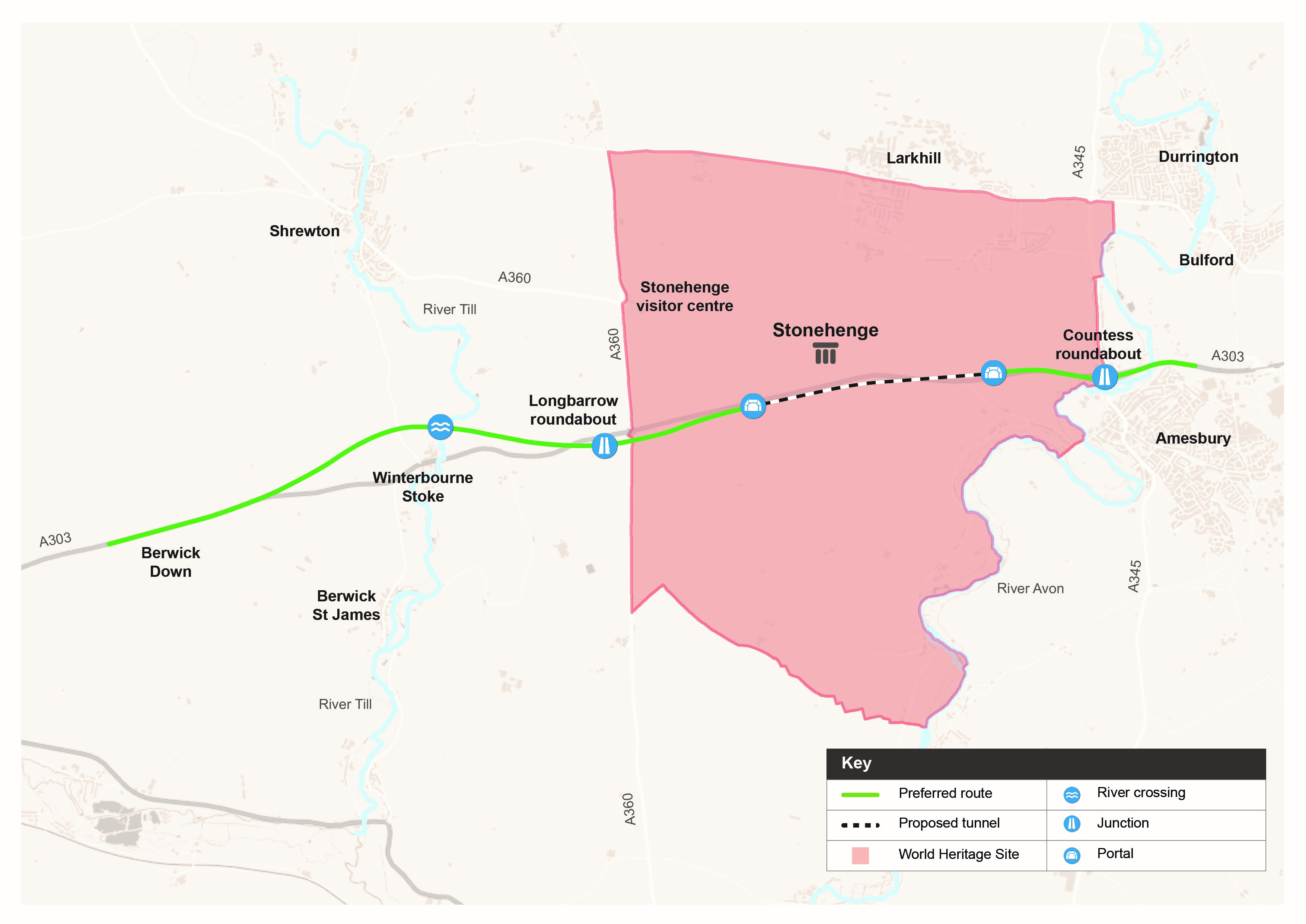
As an example the New Visitor Centre near Stonehenge has been open for over three years and uses a private borehole to supply all its water. Shortly after its opening Wiltshire Council condemned the design and implementation of the borehole as being at “High Risk” of becoming contaminated.


"There are a number of areas where the supply system does not meet the guidelines set by the Drinking Water Inspectorate ie. chamber cover is not lockable, chamber  walls do not extend 150mm above the surrounding ground height. no barrier to divert surface  flows away from the chamber, no protective fence. These deficiencies lead to the risk rating of 'High Risk'. We strongly recommend that you take steps to address these matters." 

With a licenced extraction of 35m3 a day the local authority should now, under The Private Water Supplies (England) Regulations 2016, be testing the water at least twice a year for fifteen parameters. But even though four million visitors have used the facility in that time an FOI request reveals that the council only have one test on record from 2014 and that is just for nitrates, which show a worrying 46.9 mg/l where the legal limit is 50mg/l. Worrying because nitrate levels vary with the season.

UPDATE 24/9/17 - I have requested updated test results and risk assessments from Wiltshire Council as it is over a year since The Private Water Supplies (England) Regulations 2016   came into force and the water should have been tested twice.

The detailed examination of the geology under the Stonehenge World Heritage Site for the tunnel plans has revealed that there are bands of radon containing phosphatic chalk underground. Is the water at the visitor centre being drawn from one of them? We, the general public, don’t know. The borehole is adjacent to the coach park, has there been contamination from surface waters? We don’t know. Are the nitrate levels safe this year for bottle-fed infants? We just don’t know. We should so we can make informed choices when we visit or work in premises supplied by private water supplies. The test results should be made public and displayed on the premises.

The Council warning and test results upt to January 2017 are at https://www.whatdotheyknow.com/request/private_water_supply_quality_at
There is no correspondence showing whether the risk concerns have been addressed.

The Private Water Supply regulation and testing requirements are at http://www.dwi.gov.uk/private-water-supply/regs-guidance/Guidance/info-notes/england/reg-9.pdf and http://www.legislation.gov.uk/uksi/2016/618/schedule/2/made

Advice on nitrates is in: http://www.dwi.gov.uk/stakeholders/guidance-and-codes-of-practice/pws-nitrates.pdf

The radon problem is detailed in http://www.tunneltalk.com/UK-21Nov2014-Stonehenge-TBM-bored-road-traffic-tunnel-revived.php

The private water supply is detailed in a planning document https://goo.gl/ZYXMmB

Potable water for the site is taken from an existing bore hole. There is currently an abstraction licence in place with the Environment Agency, licence number SW/043/0021/003: for the period 17th May2013 to 17 May 2025, which confirms the agreed maximum abstraction rates as being: 3m3 per hour, 35m3 per day, 2,837m3/year with a maximum continuous extraction rate of 2l/s. Following a period of monitoring of the operational site, a revised application for a small increase in peak requirements is currently awaiting approval, the application being submitted November 2015.


http://unidoc.wiltshire.gov.uk/UniDoc/Document/File/MTYvMDM5ODgvRlVMLDgwNjg3OA==

"There is no mains water or sewerage so the site utilises local groundwater for drinking water, washing water and temperature control while also being a receptor for treated sewage effluent. Any exceedances of the permit and licence limits have potential to cause environmental harm and would be a breach of environmental legislation. We note a proposed increase in visitor numbers. This will require a variation to the existing Permits (abstraction and discharge). These permit variations need to be secured, and process plant and any associated environment management scheme shown to be fully operational, before any planning condition relating to this activity is discharged. This is given the background of poor permit compliance at the site during and following the original site commissioning during 2014/15" -: Environment Agency

http://unidoc.wiltshire.gov.uk/UniDoc/Document/File/MTYvMDM5ODgvRlVMLDcyODM5MQ==

"The proposal contains information (Appendix D) on surface water and foul water drainage which has the potential to detrimentally affect groundwater. An increase in visitor numbers and toilet facilities is proposed, which could affect compliance with existing Environmental Permits and authorisations (sewage effluent discharge EPR/DB 3593NA, ground water heating discharge EPR/YP3926GR and abstractions for potable water and groundwater heating and cooling SW/043/0021/003). In addition there is an increased pollution risk from oil spills or leaks from the proposed enlarged parking area."


Monday 18 September 2017

A344 Permissive Path - Open by 1st Oct 2017


Visitors enjoying the Permissive Path on the Route of the old A344 at Stonehenge


From: Davies, Jennifer
Sent: 07 September 2017 08:48

Subject: RE: Stonehenge Permissive Path


All is in hand and the path will indeed be open on or before the 1st October.

We have the open access period of Autumn Equinox to consider on 23rd September when it wouldn’t be appropriate to be moving fences etc at the time but all plans are ready.

We look forward to seeing Mr West and his fellow cyclists on the 1st.

Kind regards

Jenny


Jennifer Davies | Head of Operations | Stonehenge

English Heritage, Stonehenge Visitor Centre
Amesbury, Salisbury, Wiltshire, SP4 7DE


Full details of the Permissive Path are in the Wiltshire Council planning application S/2009/1527

The Phasing of Works Document 
(http://unidoc.wiltshire.gov.uk/UniDoc/Document/File/Uy8yMDA5LzE1MjcsNjk5MTI4) has these details:

8.0 PHASE 4 – STONEHENGE BOTTOM – SUMMER 2016

This phase involves the release of the re-vegetated A344 area. Please refer to Figure 7 for details.


The existing/temporary stock fence and gates to the north of the original A344 are to be removed and turf used to patch any resulting disturbances in the grass surface. The areas of the permissible route that are formed using the ground reinforcement system are to be removed and patched using turf grown off site.

The permissible route is now along the northern edge of the re-vegetated A344.

9.0 PHASE 4 - STONE MONUMENT – SUMMER 2016

This phase involves the release of the re-vegetated A344 area. Please refer to Figure 8 for
details.


Click plans to enlarge.

The existing bridge over The Avenue and areas of reinforced grass to the west and east of the bridge are to be removed and patched using species rich chalk grass turf grown off site.
The temporary barriers/fence, such as rope barriers, to the grassed A344 is removed.

The existing stock fence to the north of the A344 and around the former car park and hub facilities is removed and grass is patched with turf as needed to make the grass surface good.

The final configuration of the temporary barrier/fence, such as rope barrier, for visitor circulation is formed into its final functioning arrangement.

Tuesday 12 September 2017

Details of the Stonehenge Tunnel Preferred Route Option 1Nd

From Highways England:

Based on the detailed WebTAG assessment and appraisal of the modified route options following the public consultation (January–March 2017), the recommended Preferred Route for the A303 Stonehenge scheme is Option 1Nd


The Options:

Option 1Na – As per previous Option 1N but with a local horizontal realignment to the west of the WHS through Oatlands Hill and across the existing A303; with an approximate 2.9km long tunnel and 300m cut and cover tunnel extension at the western portal within the WHS; and with the new road in cutting between the western tunnel portal and the western boundary of the WHS. The new A360 junction would be located close to the crossing of the existing A303 as with Option 1N, with the existing Longbarrow Roundabout replaced by a simple ‘T’ junction.

Option 1Nd – A variation on Option 1N with a similar approximate 2.9km long tunnel and 300m cut and cover tunnel extension at the western portal within the WHS but with the western portal moved north to a location just to the south of the existing A303 and with the new road in cutting between the western tunnel portal and the western boundary of the WHS. The new A360 junction would be located closer to the existing A360 than with Option 1N, replacing the existing Longbarrow Roundabout.

Option 1Sa – As per previous Option 1S with a similar approximate 2.9km long tunnel and a 300m cut and cover tunnel extension at the western portal within the WHS and with the new road in cutting between the western tunnel portal and the western boundary of the WHS and The Park to the west. The new A360 junction would be located close to the existing A360 within The Park as with Option 1S.


Click to enlarge pictures

In relation the historic environment, the preferred alignment is Option 1Nd as this
route:
• Facilitates a preferred exit location from the WHS, avoiding the Winter
Solstice Sunset alignment (Option 1Sa) and the need for a large cutting
through Oatlands Hill (Option 1Na).
• Runs closer to the current A303, minimising wider intrusion and disturbance.
• Provides more opportunities for effective mitigation than Options 1Na and
1Sa, ensuring overall benefits to the WHS through the removal of much of
the existing A303.
17.1.14 For the wider environment and local community, the route alignment of Option 1Nd
is assessed to result in a lesser impact on a number of key environmental
receptors, as follows:
• It presents a lower risk of adverse effects to the River Avon SAC/River Till
SSSI, and the aquatic ecology of the River Till, when compared with Option
1Sa which would cross the River Till at a location which is considered more
likely to support the qualifying species for the River Avon SAC, as well as
other protected and notable species.
• It avoids impacting what is considered to be a more complex valley
landscape to the south of Winterbourne Stoke that would be affected by
Option 1Sa, and affects the visual amenity of fewer residential and leisure
A303 Stonehenge - Amesbury to Berwick Down | HE551506
PAGE 268 OF 290
receptors in the vicinity of Winterbourne Stoke and Berwick St James than
would be affected by Option 1Sa.
• It avoids direct impacts on landscape features such as The Diamond and
the wooded enclosure within The Park, and is located further away from the
RSPB Normanton Down Nature Reserve, reducing the potential for adverse
effects on protected and notable species, including Stone Curlew, when
compared with Options 1Na and 1Sa.
• It is located closer to the current A303 infrastructure than Options 1Na and
1Sa, thereby creating less disturbance from the effects of traffic.


Monday 11 September 2017

Stonehenge Tunnel Preferred Route

Highways England Update 11 Sep 2017 on the Stonehenge Tunnel


https://highwaysengland.citizenspace.com/cip/a303-stonehenge/


Our first (non-statutory) public consultation on proposed options took place from 12 January to 5 March 2017.

Following our thorough analysis of all the responses to the consultation on proposed options, as well as undertaking further surveys and assessments, the Secretary of State for Transport announced the preferred route for the A303 between Amesbury and Berwick Down with the following features:

• A new junction between the A303 and A345 accommodating free-flowing traffic movements between both roads
• A twin-bore tunnel, at least 1.8 miles (2.9 kilometres) long, past Stonehenge
• A new junction to the west of and outside the World Heritage Site (WHS) accommodating free-flowing A303 and A360 traffic movements, as well as a link to Winterbourne Stoke
• A bypass to the north of Winterbourne Stoke
More details of the preferred route including how we have read and considered every response, can be found provided in the documents below.

Files:
Moving forward - the preferred route, 4.2 MB (PDF document)


Preferred route plan - simple version, 679.4 kB (JPEG image)


Preferred route plan - detailed version, 730.4 kB (JPEG image)


The 2016 update of the mapping of the World Heritage Site


The 2016 update of the mapping of the World Heritage Site, highlighting the density of archaeological features identified both from thousands of aerial images dating back as far as 1906, and recent lidar imagery. The yellow line marks the current WHS boundary. © Historic England

The full image is available at:
https://content.historicengland.org.uk/remote/content.historicengland.org.uk/content/images-books/images/2283256/her-6/aerial-stonhenge-banner

(cunning use of Stonhenge in the URL...)